
Bloomfield Neighbor Records
A block search works best as a layered record trail. Start with the GIS viewer to identify the subject parcel and nearby unique IDs. Use the assessor card for owner, mailing, and situs fields. Move to the Town Clerk land index when a recorded instrument or deed chain matters. Voter information is narrower and subject to a separate state release process. Community and history sources can show who took part in public life or who appeared near an address in an earlier era, but they do not promise a current list of residents.
| Source | What It Shows About a Block | Access |
|---|---|---|
| Bloomfield GIS parcel viewer | Parcel shapes, adjacent IDs, street labels, zoning, flood, wetland, aerial, and sales context | Free viewer; approximate lines; select, buffer, and print tools |
| Bloomfield Assessor cards | Owner, mailing address, situs, parcel identifiers, class, and property characteristics | Free MapXpress search, one parcel at a time |
| Town Clerk land index | Recorded owners, instruments, dates, legal descriptions, and parcel chains | Free index; images and prints have charges |
| Connecticut voter file | Registered names, residence information, party, history, and year of birth in a lawful release | Statewide written request; $300 fee; privacy omissions |
| BPD Support Services | Block-watch coordination, cleanups, and nuisance-abatement activity | Program contact; no public member roster located |
| Community clubs | Official civic, history, conservation, service, and recreation organizations | Town listing; no member directory published |
| BPL and regional telephone books | Older address-to-name, phone, and nearby-listing clues | Library help and Library of Congress scans; dates vary |
| WHS and town agendas | Historic families, cemeteries, public participants, and abutter comments | Online indexes, publications, meetings, and contact routes |
The Bloomfield Town Directory is a current contact list for departments, officials, librarians, and boards. It is useful for reaching the right custodian, not for proving that a named person lives on a block.
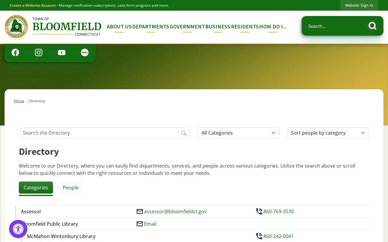
The directory image shows the public-facing contact layer. A block inquiry still has to move to the Assessor, GIS, Registrar, or another office that holds the needed record.
Map the Bloomfield Block
The adjacent-parcel method keeps a neighbor lookup tied to geography instead of a guessed name. Bloomfield’s interactive MapXpress viewer lets a researcher start at an address or Unique ID, inspect parcel information, and work outward. Its lines are general and informational. They are not a field survey, a legal boundary, or a published household map.
- Search the street address or Unique ID in the Bloomfield GIS viewer.
- Turn on Street Labels and Parcel Information, then keep a current aerial or basemap visible for orientation.
- Select the subject parcel and note each adjacent unique ID and legal parcel shown by the map.
- Repeat the parcel-information step for each abutting lot, or use Multi Select to gather a visual group.
- Draw a polygon, circle, or buffer when a radius is useful. Label the result as a visual GIS selection, not legal adjacency.
- Print the map, keep its generated date, and compare each selected parcel with its assessor card and mailing field.
Corner parcels need extra care. Test both street names and the map, block, lot, or parcel ID. A road, easement, or unrecorded line can make a parcel look close on screen while changing the legal relationship. For a full named-street chain rather than the immediate block, use the Bloomfield street directory and its address-first record path.
GIS Tools for Bloomfield Neighbors
MapXpress has more than a simple parcel click. The viewer lists Street Labels, zoning, Town Wetland Soils, Current FEMA Mapping, contours, structures, easements, catch basins, manholes, inlets and outlets, storm pipe, and sales information by Grand List year. Aerial choices include 2023, 2019, 2016, 2012, and 2004. These layers can explain why two parcels appear connected by a road, drainage feature, or change in land use without claiming anything about the people who use them.
Controls include Search, Reset Map, Parcel Information, Measure Tools, Multi Select, Print, and drawing tools for points, lines, polygons, circles, and buffers. The town reports about 7,300 parcels, with property information updated nightly and GIS parcels provided in September 2025. Those details make the viewer a strong current starting point, but the map disclaimer controls: parcel lines are approximate, the data may contain errors, and the Engineering or Assessor office is the place to resolve a boundary question.
Map reading tip: A buffer can describe what is around an address for research notes. It does not create a legal neighborhood, prove that lots share a block, or identify every household nearby.
Bloomfield Parcel Neighbors
An assessor card gives a richer property clue than a map label, but it still has a defined scope. The owner field is not an occupant field. The mailing address can be out of town, shared, or tied to an LLC, trust, or tax service. The situs address is the physical parcel. A Unique ID, map or block and lot, PID, acreage, land class, zoning, book and page, and building details help match one card to the right lot.
- Owner
- The person or entity listed for the tax record. It is not a list of everyone who uses the parcel.
- Situs
- The mapped physical location used by property and municipal systems.
- Mailing address
- The destination for owner or tax correspondence, which may differ from the situs.
- Unique ID
- The local parcel identifier used to connect the search result, card, and map.
- Legal book and page
- A recorded-land reference that can lead from the parcel card to a deed or other instrument.
The research examples show why parcel type matters. A 7.9-acre industrial card at 12 Burr Road and a zero-acre condominium card at 3 Tanglewood Court describe very different kinds of neighboring parcels. Neither card proves who is inside a building on a given day.
When the card and map seem to disagree, contact the Bloomfield Assessor property search office at 860-769-3530, then use the Bloomfield recorded-land index for the legal instrument rather than treating a mailing address as final proof.
Bloomfield Voter Neighbors
Connecticut’s voter system can answer a registration question for one person, but the public lookup is not a street browser. The official workflow uses Town, Last Name, First Name, and Date of Birth. The public release can include name, residence information, party affiliation, district context, registration status or history, election participation history, and year of birth. It does not show ballot choices.
A full statewide file is a different access route. The written request goes to the Secretary of the State’s LEAD unit by mail or email, costs $300, and may be sorted by address after lawful receipt. A block-level list therefore requires the defined request process and careful handling. The ordinary lookup cannot promise a ZIP or block filter, and a protected voter may be withheld.
| Public voter information | Important limit |
|---|---|
| Name and residence | Registration information, not proof of present occupancy |
| Party and election history | Participation history, not ballot choices |
| Birth year | Current public release rule; month and day are excluded |
| Privacy status | Safety-based suppression can make a voter absent from public release |
Connecticut’s voter-registration system is also changing. SOTS has been testing a GIS-based TotalVote upgrade planned for December 2026, and the 2026 dispute over requested sensitive voter fields was dismissed in July. A dated lookup result and the local Registrar remain better evidence than an old screenshot.
The Connecticut voter privacy program information explains the release rules and the separate privacy program. Bloomfield’s Registrar can answer local status questions at 860-769-3540.
Bloomfield Civic Organizations
Community groups add a human and civic layer to the block question. The official town list names service, history, conservation, youth, sports, cycling, and recreation organizations. The Bloomfield Town Profile adds ACS-based population, school, business, and local context, but it is not a neighbor roster. The organization list also does not publish member rosters, dues, household lists, or street coverage. A group can be a good route for oral history or a public event contact, but membership should never be inferred from a parcel, a photograph, or a meeting agenda.
The Bloomfield Community Clubs and Organizations page is the source for the following contact categories.
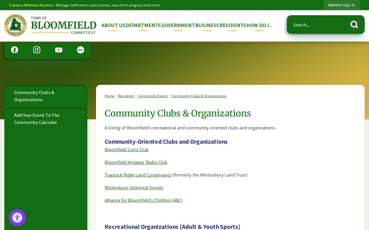
The community-club image shows a public listing, not a named-neighbor index. Use its contact route for civic participation or family-history leads.
Service and history
Bloomfield Lions Club; Bloomfield Amateur Radio Club; Wintonbury Historical Society.
Land and children
Traprock Ridge Land Conservancy, formerly Wintonbury Land Trust; Alliance for Bloomfield’s Children.
Youth and sport
Bloomfield Junior Warhawks/Raiders/Cheer; Bloomfield Junior Soccer Association; Central CT Jaguars Club.
Active recreation
Octagon Cycling Club; Bloomfield Tennis & Pickleball Club.
Block Watch and Bloomfield Neighbors
Bloomfield Police Support Services coordinates neighborhood and commercial block-watch groups, neighborhood cleanups, nuisance-abatement work, and the Citizens’ Police Awareness Academy. That program can help someone learn how to reach a local safety or community-policing contact. It does not publish a member roster, a street-by-street list, or a public record of every person who attends.
A related records question should go to the BPD Records Unit. The Bloomfield Police Records page describes written requests for reports, daily activity or arrest logs, code violations, permits, and location, type, or time-period searches. Public disclosure is subject to exemptions and redactions. The published BPD contact route includes 785 Park Avenue, 860-242-5501, and bpdcontact@pd.bloomfieldct.gov.
The Bloomfield Police Support Services page documents the program’s role.
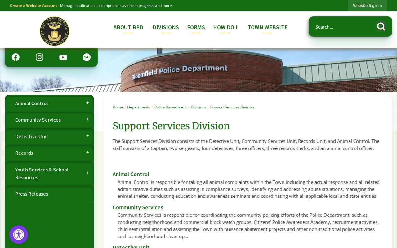
The support-services image belongs to the community-contact layer. A block lookup should not turn participation in a safety program into a presumed address or household fact.
Town Minutes, Bloomfield Abutters
Boards and commissions can reveal a public participant, a project address, or an abutter comment when a neighborhood issue reaches an agenda. Bloomfield lists about 50 boards and commissions, with bodies such as Plan and Zoning, Conservation, Energy and Environment, Local Road Safety, Library Board and Building Committee, Humanities, Public Art, and Town Council. These records show public civic activity in a dated setting. They do not reveal private membership in a club or every neighbor’s relationship to a parcel.
The Bloomfield Boards and Commissions page is the starting point for current assignments and meeting links.
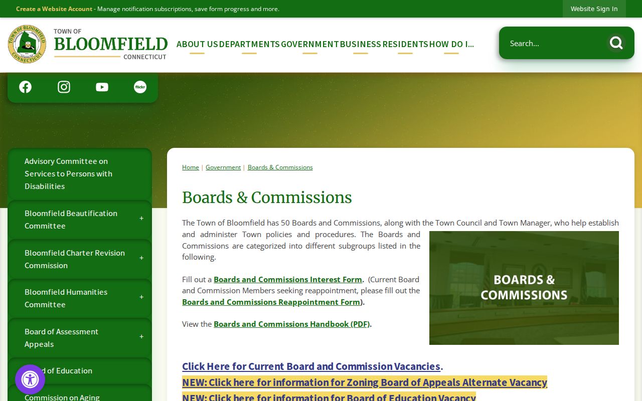
The boards image illustrates the public-participant route. Search agendas and minutes by date, body, or project term, then verify any name or address with the town record custodian.
For a missing document, the Connecticut Freedom of Information Act provides a written route to the department that holds the non-exempt record. Describe the address, project, and date range, request segregable material, and expect privacy or law-enforcement exemptions to apply where required.
Historical Bloomfield Households
Older neighbors often appear through regional rather than town-only sources. Library of Congress Hartford telephone books include Bloomfield entries in runs such as 1954, 1958, 1960/61, 1962/63, and 1971/72. A scan may use “Bimfld,” a regional exchange, or an address vocabulary that predates today’s ZIP system. Search the image and nearby listings, then check the date before treating a name as an address match.
Wintonbury Historical Society material supplies another local layer. Its cemetery resources name Old Wintonbury or Old North, Latimer Hill, Mount St Benedict, Mountain View or West Hill or Whirlwind Hill, and Old St Andrews. Cemetery indexes and inscriptions can link families to a place, but a memorial lead still needs confirmation from the society or cemetery custodian. The society’s 108 Tunxis house-history sample also shows how adjoining owners and oral history can solve an old address problem.
The Library of Congress Hartford telephone directory scan demonstrates the regional source, while the Wintonbury historic cemetery index supplies the local cemetery route.
The cemetery image points to family and place history. It is not a current neighbor list, and cemetery presence alone does not establish a living person’s address.
Bloomfield Neighbor Privacy
A parcel owner is not an occupant list. A public voter file does not show ballot choices, and a protected voter may be absent by design. Household composition, unlisted phone numbers, utility or delivery data, DMV addresses, sealed court material, adoption files, juvenile records, protected-victim information, and private organization membership should not be inferred from a block map.
Connecticut’s Address Confidentiality Program can provide a substitute mailing address for qualifying safety situations. The separate Voter Registry Privacy Program can suppress a voter’s name and address when disclosure endangers the person or family. These protections explain why a neighbor lookup can be incomplete even when the parcel and town records are current.
Official rolls and commercial neighbor tools. Official GIS, assessor, deed, voter, and custodian records each have a named keeper, date, and defined field set. Commercial tools may merge public and marketing data, but they can be stale or combine people with similar names. Neither category replaces direct verification.
Lawful use. Bloomfield neighbor research is appropriate for family history, community connection, civic review, and personal safety awareness. Do not use records to watch, stalk, harass, intimidate, or harm anyone.
Keep a source date and a short reason for each lookup. If the question shifts from the block to a full named-street chain, use the address record custodian rather than collecting private details about people who are not part of the question.